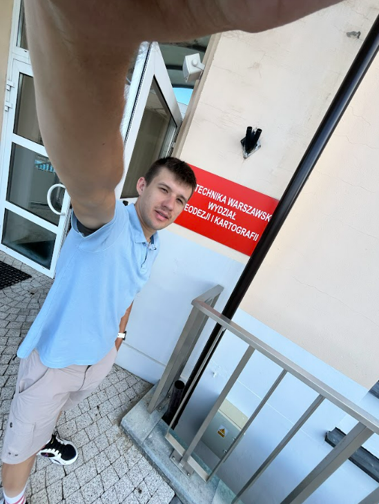
From September 8 to 12, 2025, Kamil Gromnicki completed an internship at the Faculty of Geodesy and Cartography of the Warsaw University of Technology as part of the GeoIntegration program.
During the internship, Kamil had the opportunity to gain practical experience in the field of satellite image processing and water protection issues, as well as to exchange knowledge and experience with other experts from Poland in the field of satellite image processing.
This cooperation is an excellent opportunity to establish valuable collaborations and contacts for the future.